Archivo:Atchafalaya Basin.jpg

De LibreFind
Saltar a: navegación, buscar
Archivo original(1500 × 1001 píxeles; tamaño de archivo: 648 KB; tipo MIME: image/jpeg)

Este archivo es de Wikimedia Commons y puede usarse en otros proyectos. La descripción en su página de descripción del archivo se muestra debajo.

Descripción
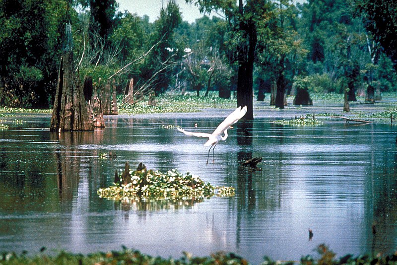
English: A scene in the Atchafalaya Basin in Louisiana, USA, in the Sherburne Complex Wildlife Management Area, a Nature Conservancy reserve.
Fecha not specified or unknown
Fuente U.S. Army Corps of Engineers Digital Visual Library
Image page
Image description page
Digital Visual Library home page
Autor U.S. Army Corps of Engineers, photographer not specified or unknown
Permiso
(Reutilización de este archivo)
Public domain
This image or file is a work of a U.S. Army Corps of Engineers soldier or employee, taken or made as part of that person's official duties. As a work of the U.S. federal government, the image is in the public domain.

English | italiano | Nederlands | پښتو | русский | sicilianu | slovenščina | Türkçe | українська | +/−

Localización
InfoField
Atchafalaya Basin, Louisiana, USA
Posición de la cámara29° 33′ 00″ N, 91° 15′ 00″ O Kartographer map based on OpenStreetMap.Ubicación de esta y otras imágenes en: OpenStreetMapinfo

Leyendas

Añade una explicación corta acerca de lo que representa este archivo

Elementos representados en este archivo

representa a

29°33'0.000"N, 91°15'0.000"W

image/jpeg

8e062d32ebaae0cec4ddc3aa76e87a918733694f

1001 píxel

1500 píxel

Historial del archivo

Haz clic sobre una fecha/hora para ver el archivo a esa fecha.

Fecha y horaMiniaturaDimensionesUsuarioComentario
actual06:14 1 abr 2007Miniatura de la versión del 06:14 1 abr 20071500 × 1001 (648 KB)DanMS{{Information | Description = {{en|A scene in the Atchafalaya Basin in Louisiana, USA.}} | Source = U.S. Army Corps of Engineers Digital Visual Library<br />[http://images.usace.army.mil/images/Hires/0655-12.jpg Image page]<br />[http://images.

La siguiente página enlaza a este archivo:

Metadatos