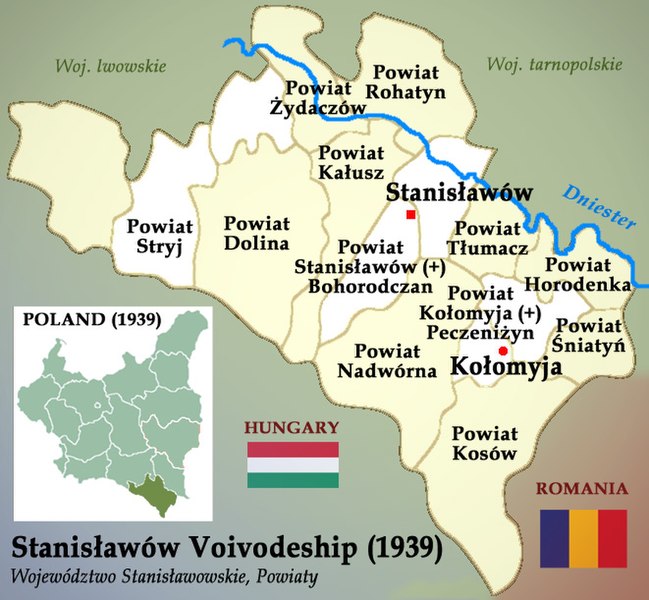
Archivo:Stanisławów Voivodeship 1939 Poland (Województwo Stanisławowskie).jpg
De LibreFind

Tamaño de esta previsualización: 649 × 600 píxeles. Otras resoluciones: 260 × 240 píxeles | 519 × 480 píxeles | 661 × 611 píxeles.
Archivo original (661 × 611 píxeles; tamaño de archivo: 139 KB; tipo MIME: image/jpeg)
Historial del archivo
Haz clic sobre una fecha/hora para ver el archivo a esa fecha.
| Fecha y hora | Miniatura | Dimensiones | Usuario | Comentario | |
|---|---|---|---|---|---|
| actual | 03:53 19 mar 2009 |  | 661 × 611 (139 KB) | Poeticbent | == Summary == {{Information |Description=Map of Stanisławów Voivodeship (Polish: Województwo Stanisławowskie) before the onset of German and Soviet invasion of Poland in September 1939. |Source=Own work |Date=March 18, 2009 |Author={{User|Poeticbent}} |
Usos del archivo
La siguiente página enlaza a este archivo:
